
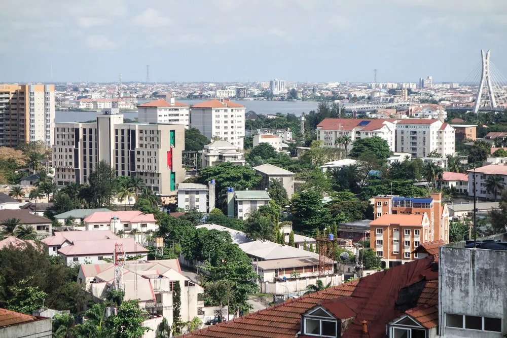
The Lagos State Government has announced a proposal to use Cessna 406 aircraft for aerial mapping of the state in an effort to improve infrastructure and, among other goals, count the number of buildings in the state.
According to the State Government, the exercise, which will start very soon, would last anywhere between six and eight weeks, depending on the weather.
Information on the project: The Deputy Governor of Lagos State, Mr. Babafemi Hamzat, said that the exercise was a part of the state’s major component of the Enterprise Geographic Information System (EGIS) upgrade, which is intended to provide a digital mapping platform, at the unveiling ceremony on Wednesday evening at the Murtala Muhammed Airport (MMA).
The mapping, according to the Deputy Governor, will allow the administration to make informed plans for the state’s citizens.
He claimed that the exercise will assist in both updating the database and gaining knowledge about the state’s actual structures and infrastructure.
In his explanation, he stressed that the State Government would conduct the exercise daily for at least four and a half hours for around six weeks.
“The aircraft has a huge camera. When it flies it can capture a coin. It flies relatively low at about 4,000ft below sea level. The essence is for it to capture everything that is in Lagos state. It can go and come back. There are layers of flying. The essence for us is to know what is in Lagos. It has a glider that can capture water and land. It would be flying for about four and a half 4 hours daily, depending on the weather.
“We have done it before. Lagos like any other city is dynamic. What we had five years ago is not what you have today. The international standard is to do it every five years so that you can update your database and everything. So, basically, what it does is that you are able to map every inch of soil in your land, and various buildings where you have your allocations and sizes.
“The essence is to know the data of your state and what that does is to enable you to plan. What you cannot really measure, you cannot really manage it. So, the essence for us is to be able to measure every inch of Lagos and its size.”
Project’s importance: The project, according to Dr. Olajide Babatunde, special adviser to the governor of Lagos State on Enterprise Geographic Information System (EGIS), will result in the mapping of the state’s lands.
He claimed that once the state had been successfully mapped, the government would start a land survey.
He emphasized that the exercise was a component of the enterprise geographic information system initiatives the state was developing to be able to address some of the problems the state was currently facing.
“Currently, our land use database shows that we have over 600,000 properties in the state. However, I know we have more than that. And you know if you don’t have a title deeds plan, you cannot even go to the Lagos State Parking Authority (LASPA)for building approval,” he said.